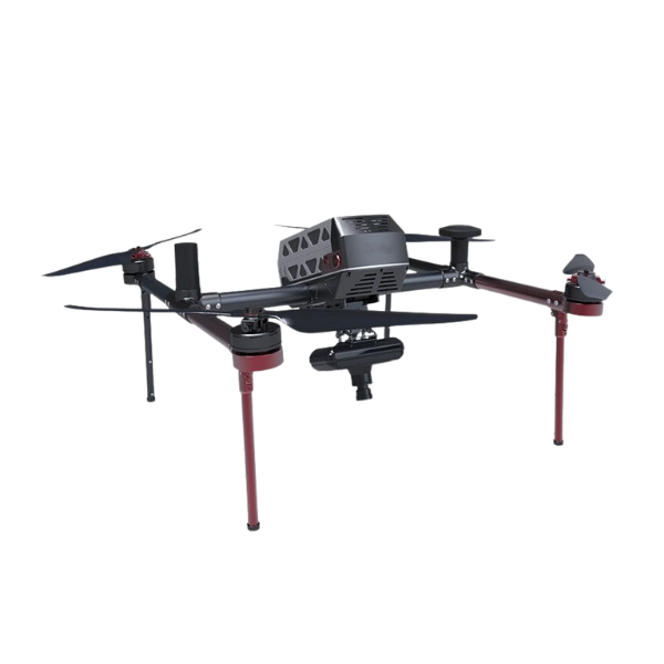
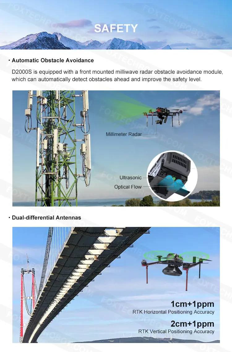
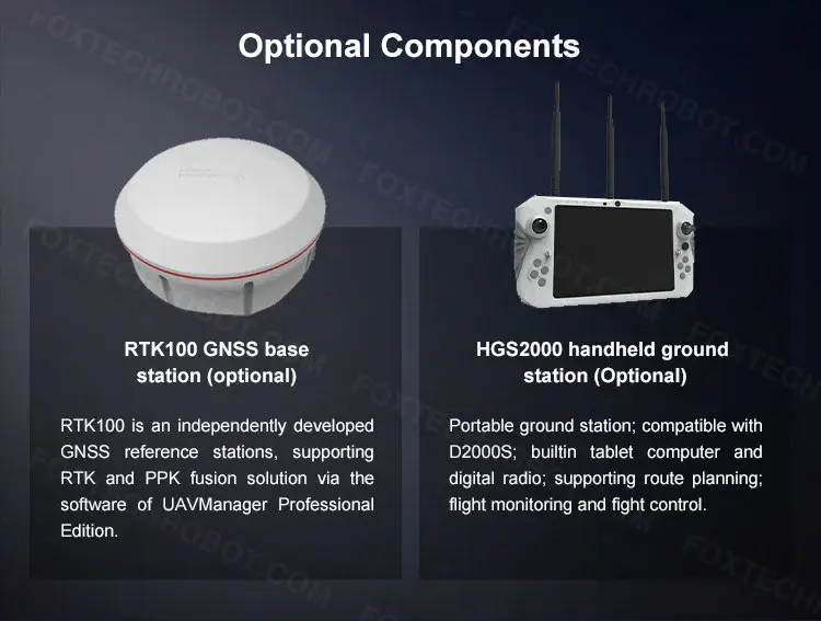
D2000S is equipped with a high-precision differential GNSS board and two dual-differential antennas. Through the optional physical base station with RTK and PPK fusion solution, it can support high-precision POS assist. ed aerial triangulation and realize image control-free applications.
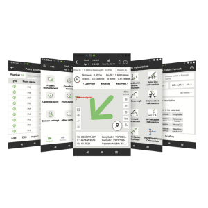
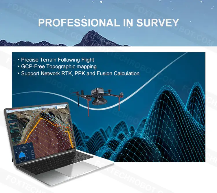
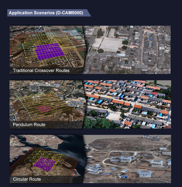
Also, with the software named UAV Manager Professional Edition, it has various route modes for different application requirements. The software supports accurate three-dimensional route planning, three-dimensional real-time flight monitoring, GNSS fusion solution, control point measurement, aerial triangulation, one-key to output and browses multiple data results such as TDOM, DOM, DEM, DSM, LIDAR point cloud, and so on.
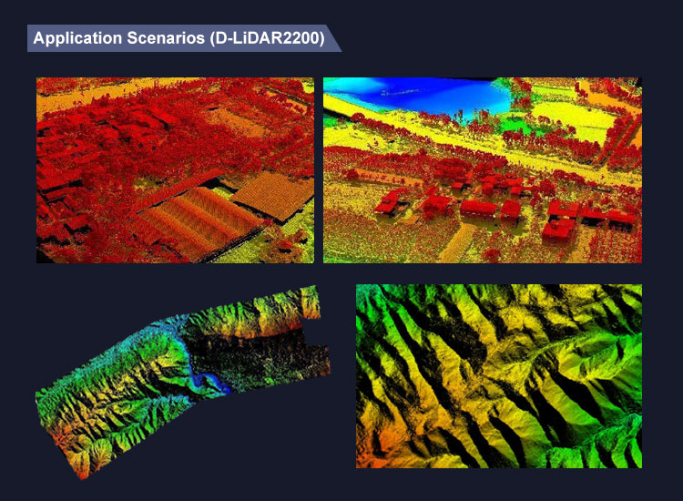
Image control-free topographic mapping
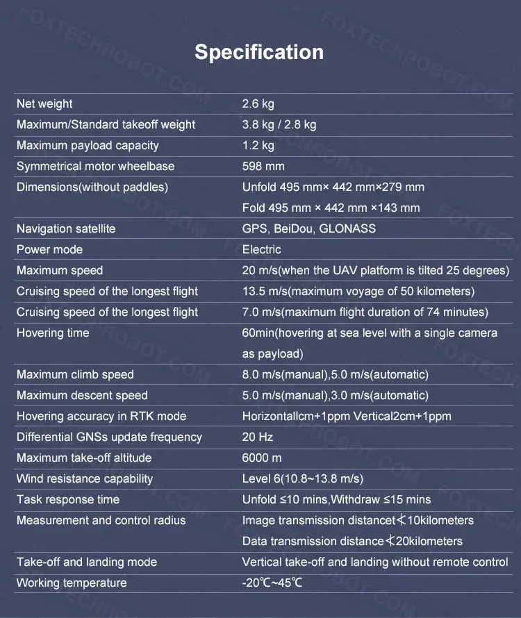
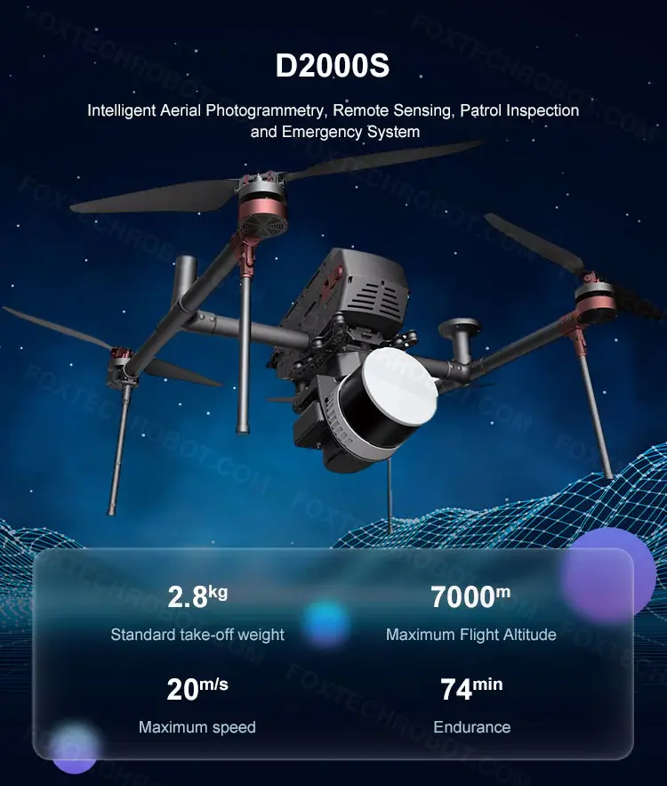
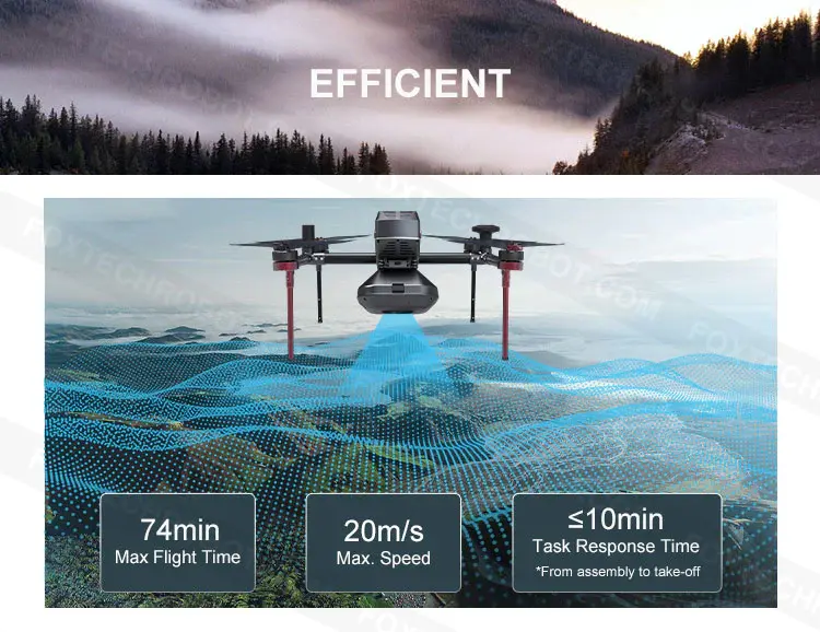
Long endurance, high efficiency, and high reliability
Dual-differential antenna
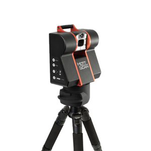
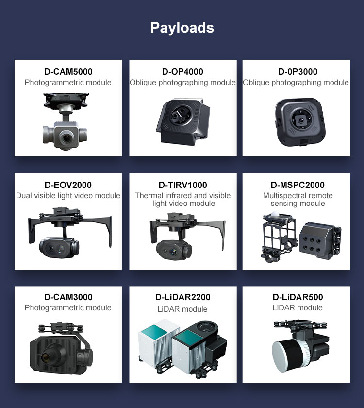
Module payload design and multi-source data acquisition
Precise terrain following flight.
Automatic obstacle avoidance
One-stop software solution and advanced data processing workstation
Përshëndetje atje! Shpresoj te jeni mire sot. Jam i emocionuar të ndaj me ju disa produkte të pabesueshme që kanë dalë nga raftet tona së fundmi! Përveç artikujve të mrekullueshëm që keni shfletuar tashmë, a mund t’ju sugjeroj të hidhni një sy në produktet tona më të shitura?
_04(1).jpg-t)
 s
s