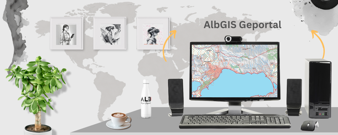
Ekipi ynë i ekspertëve gjeohapësinorë mund t’ju ndihmojë të mblidhni, analizoni dhe vizualizoni informacionin gjeografik, duke ju dhënë njohuri të vlefshme në operacionet dhe tregjet tuaja. Ne përdorim teknologjitë më të fundit hartografike për të dhënë informacion të saktë dhe të zbatueshëm.
Dramatically improve
efficiency
productivity
performance across multiple industries
Në Dekagon, projekti juaj është në duar të mira! Ekipi ynë ka një përvojë të pasur dhe përdor teknologjinë top-of-the-line për të siguruar që ne mund të marrim përsipër çdo projekt, sado i madh apo kompleks. Ne kemi besim në aftësinë tonë për të ofruar shërbimet e duhura të dronëve për t’ju ndihmuar të arrini qëllimet tuaja. Me ekspertizën dhe angazhimin tonë për përsosmëri, ju mund të keni besim se ne do të japim rezultate të jashtëzakonshme.
Let us take your vision to new heights and watch as we bring it to life with precision and skill!
Drone Mapping Photogrametry & GIS
With photogrammetry, the drone can collect high- resolution photographs covering an area of almost any size. Those photos can then be collectively pieced together to create a detail- and data-rich portrait of the site being surveyed or analyzed.
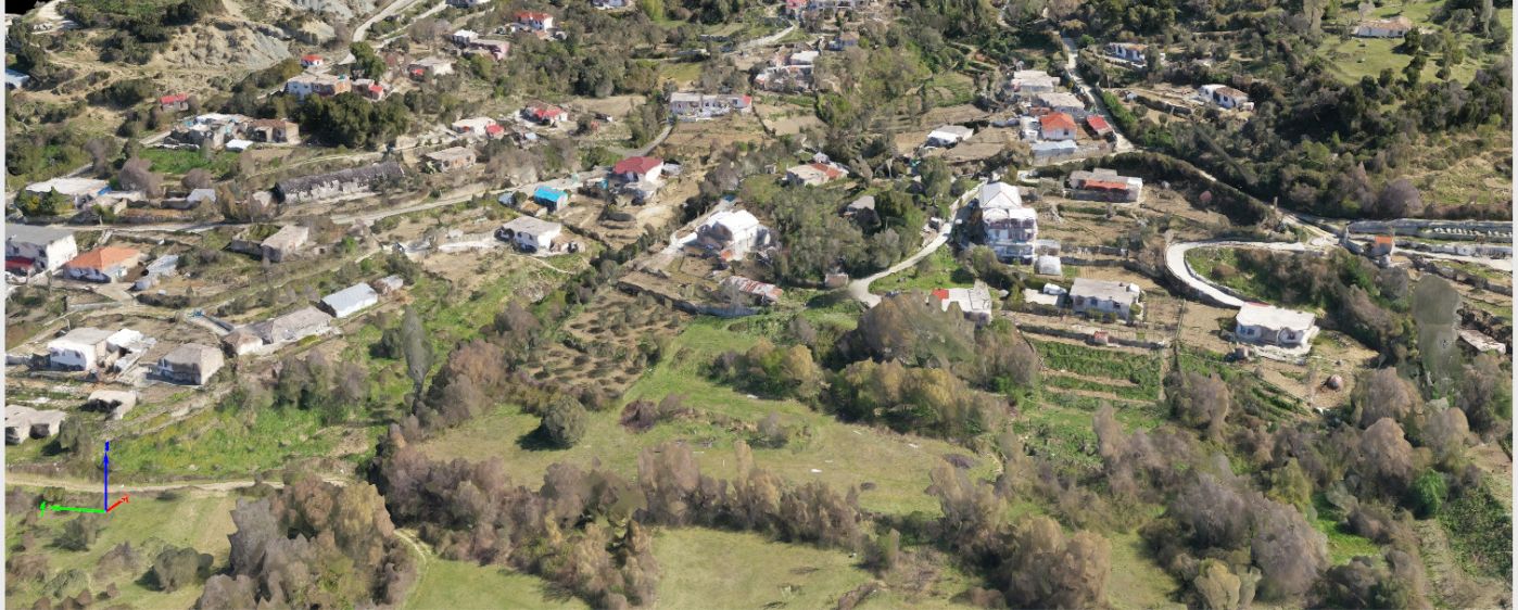
Twin models, often referred to as 3D models, are an innovative and sophisticated representation of physical objects or environments in a digital format. 3D models offer a more immersive and comprehensive understanding of the subject matter.
Visual inspections are necessary across almost all industries. Having an experienced, qualified inspector with an eye for detail and the knowledge to spot potential problems is essential to keeping everything in proper working order.
Me fotogrammetri, droni mund të mbledhë fotografi me rezolucion të lartë që mbulojnë një zonë pothuajse të çdo madhësie. Këto fotografi pastaj mund të ndahen kolektivisht së bashku për të krijuar një portret të pasur me detaje dhe të dhëna të faqes ose objektit që po anketohet ose analizohet.
The color point cloud uses RGB data from a raster for colorization. Each point of the point cloud receives the RGB value of the raster pixel that has the same location.
Output formats:
.las
.laz
.ply
.xyz
.rcp
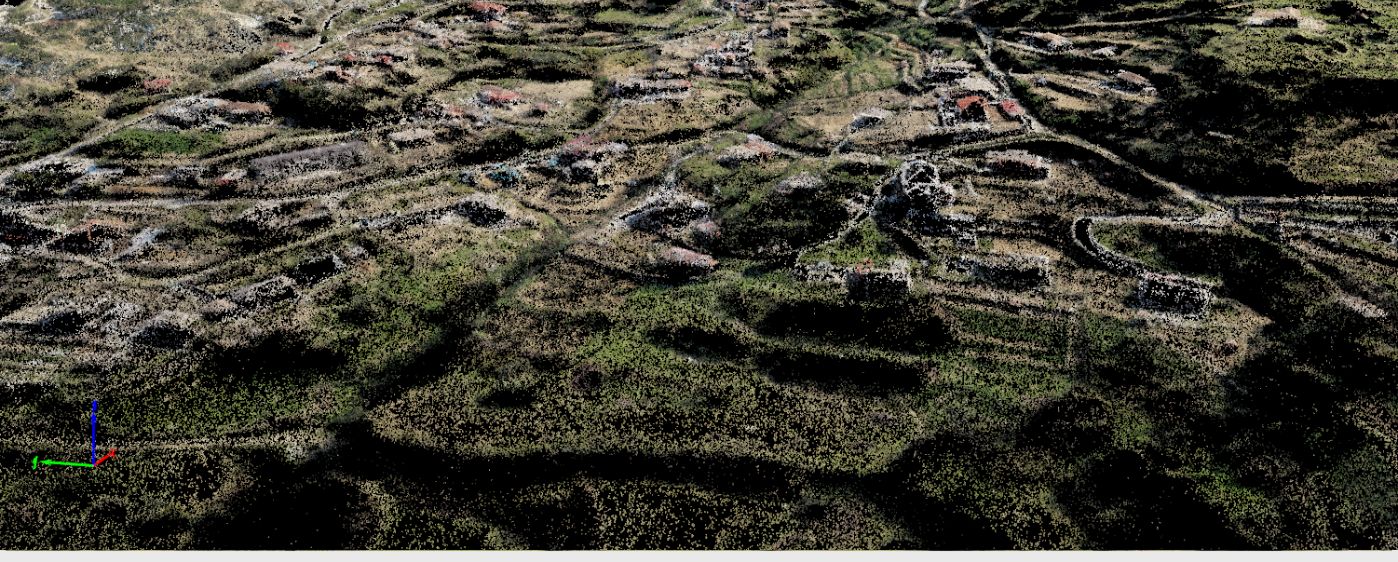
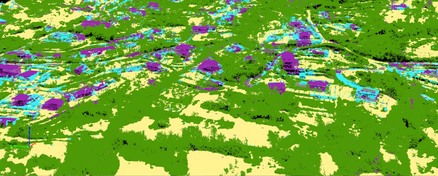
Classified point cloud
Leviz
Output formats:
.las
.laz
.ply
.xyz
.rcp
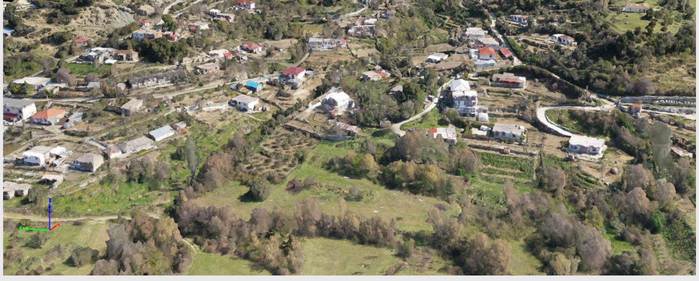
Orthomosaic
Drag
We will deliver a 2-dimensional image map that has been expertly transformed through a process of geometric correction, ensuring that the scale is consistently uniform throughout the entire image. Additionally, our team will pay meticulous attention to color balance, resulting in a visually stunning final product that is aesthetically pleasing to the eye. We are confident in the quality of our work, and we believe that our efforts will allow you to more accurately and efficiently analyze the information contained within this image map.
Output formats:
GeoTiff (.tif)
.kml
.sid
Contour lines
Leviz
Cartographers use a variety of techniques to accurately convey the topography of a given area on a map. One such technique is the use of contour lines, which are lines drawn to connect points of equal elevation. Utilizing contour lines in the mapping process enables viewers to gain a more comprehensive understanding of the shape and features present within the landscape being represented. By providing a visual representation of elevation changes, contour lines allow for the easy identification of geographic features such as ridges, valleys, and the overall shape of an area. This information is invaluable for a variety of applications, including land management, environmental studies, and emergency response planning.
Output formats:
Shape (.shp)
.dxf
.pdf
Digital terrain model (DTM) Digital elevation model (DEM)