
AlbGIS — Engineering Platform & Applications
- Client
- Decagon Technology (the company's own product)
- Period
- → Ongoing
- Location
- Albania
What we did
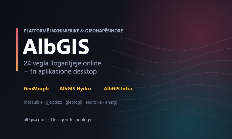
AlbGIS is our engineering and geospatial platform for engineers, surveyors and design studios in Albania. Unlike client projects, AlbGIS is Decagon Technology’s own product: we develop, maintain and update it ourselves.
It grew out of our daily work in the field and in design. The calculations we kept repeating in spreadsheets, the Albanian standards that foreign software does not know and the KRGJSH coordinate system became ready-made tools, with reports that go straight into the project.
The platform has two parts: the online tools at albgis.com, which open in the browser, and AlbGIS Suite, the desktop programs for complete design work.
All tools and programs comply with European standards (the Eurocodes and EN norms) and with Albanian standards and technical regulations, so the calculations are accepted without translating methods.
Project data
- Client
- Decagon Technology (the company's own product)
- Location
- Albania
- End
- Ongoing
- Services
- IT Solutions
The online tools
32 engineering calculation tools right in the browser, with nothing to install. Every calculation produces a PDF report ready for the project.
- Hydraulics: from modelling water networks on a map to sewers
- Geodesy: coordinate transformations and Albanian systems
- Geology: slope stability, retaining walls
- Electrical: cable sizing to IEC 60364
- Energy: photovoltaic panels and renewables
Desktop programs for complete design
Each program covers one discipline with the same way of working: the survey goes in, the design comes out with drawings and reports.
AlbGIS Hydro
Water and sewer networks: four modules in one program.
- Water supply, sewers, stormwater and combined networks
- Hydraulic solver and district metered areas (DMA)
- Survey import and long sections
- Drawing sheets and the technical specification book
AlbGIS Infra
Road design, from alignment to typical cross-section.
- Horizontal alignment with clothoids
- Vertical profile with vertical curves
- Typical sections with every road element
- Design criteria by road category
- Railways: in development
AlbGIS Irrig
Pressurised irrigation network design.
- Flows computed with the Clément method
- Pipe sizing and pressure checks
- Network layout on the survey
AlbGIS Struct
3D structural analysis with finite elements.
- 3D FEM model
- Combinations to Eurocode 0 and seismic design to EC8
- Checks to the Albanian KTP code
GeoMorph
Desktop photogrammetry: from drone photos to the model.
- Orthophotos and DSM / DTM models
- 3D point clouds and textured mesh
- A local alternative to Pix4D and DroneDeploy
Shared by all
What makes the programs one family.
- Compliant with European and Albanian standards
- Albanian-language interface
- KRGJSH-2010 and Albanian projections
- Automatic updates
- 15-day free trial
- Licensed by Decagon Technology
Built for people designing in Albania
Design studios
Water, road and structural designs with reports ready to submit.
Surveyors
Photogrammetry, coordinate transformations and terrain models.
Municipalities & utilities
Network planning and management on a map.
Students
A free licence for the whole time you are studying.
Try it free for 15 days
Every AlbGIS Suite program comes with a 15-day free trial. Students get the licence free while they study. Tell us which program interests you, or ask for a demonstration.
Related projects
Coming soon.
Have a similar project?
Tell us where it is and what you need. We reply within one working day.