
Surveying & engineering
We survey the ground from land, air and water and turn it into a digital model the designer can use straight away. Then, when asked, we design on it ourselves.
Every project is only as accurate as the survey beneath it.
A topographic survey is the first pillar of engineering design. We combine GNSS and total stations with LiDAR scanning and drone photogrammetry, so the digital terrain model stays as close as possible to the real relief.
The same engineers who survey also design: from feasibility study to detailed design and construction management. Nothing gets lost between the field and the drawing board.
From land, from the air, on water
From land
GNSS, total stations and LiDAR scanning for complex sites and structures.
- Engineering topographic surveys
- Cadastral surveys
- Geodetic control networks
- Building scans and point clouds
From the air
Drone photogrammetry: more than 70 km² surveyed to date.
- Orthophotos
- DTM and DSM models
- Point clouds and 3D meshes
On water
Bathymetry by boat and by water drone.
- Bathymetric surveys
- 3D models with multibeam
Online estimate
Estimate your project
Mark the area on the map, choose the services and the terrain: you see the area and an approximate cost right away. Then send us a request for a detailed quote.
- Open the map and find the place: type its name at the bottom right of the map (e.g. «Kamëz») or zoom with the mouse wheel / two fingers.
- Click once on each corner of the area, one after the other, all the way round. A mistake? «Undo last point».
- Press «Finish area» (or double-click the last point), then choose the services on the right.
The map is loaded from OpenStreetMap and Esri only after you open it.
1 · Services
2 · Terrain
- Area
- —
- Distance from Tirana
- —
An automatic approximate estimate, not a final quote. The detailed quote is prepared after we review the request.
When the survey becomes a design
Feasibility studies
Objectives, constraints and opportunities identified early, so later decisions are safe.
Detailed design
Roads, water and sewer networks and structures, to current technical criteria.
Project management
Schedule, cost and quality, followed from study to construction.
Geotechnical investigations
The ground beneath the design: slope stability, retaining walls, foundations.
From the first question to delivery
Purpose and accuracy
We agree what the survey is for, the scale and the coordinate system.
Fieldwork
With the method that suits the site: land, air or water.
Processing
Error checks, the terrain model, plans and profiles.
Delivery
In the format your designer works with, with a technical report.
Where we have done it
Technical Assistance for the Preparation of Projects for Energy-Efficient Schools in Albania
Decagon shpk was contracted by ALBEGIS&CO to carry out topographic surveys for twenty educational buildings. The survey consisted of the…
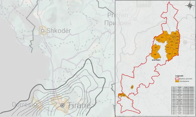
Initial Property Registration for the Municipality of Shkodër
The initial registration of immovable property consists of recording every immovable property, whether state-owned, public or private, in the cadastral…
Topographic and Cadastral Surveys for the One Albania Stations
The company One Albania, active in the field of telecommunications, has an extensive network of stations (antennas, poles, masts, etc.)…
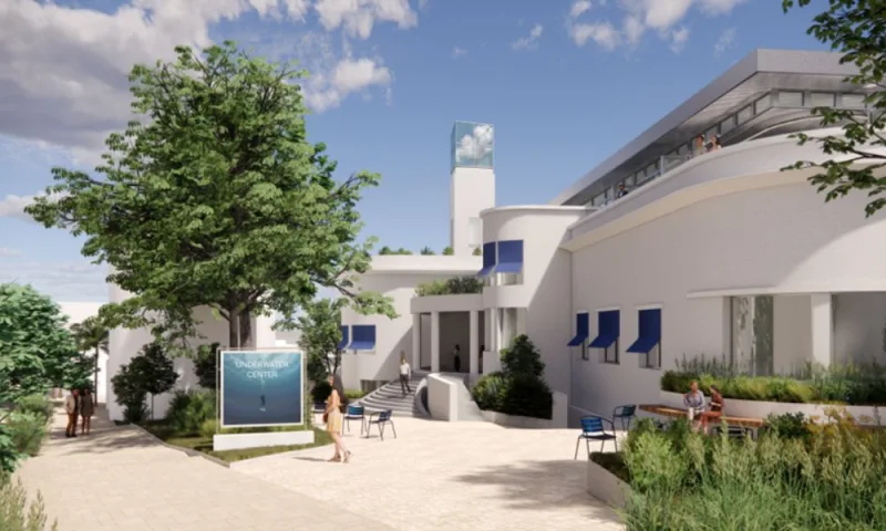
Product Development Implementation – Package 2 (Outdoor & Museums)
As part of the PIUTD package, which aims to boost tourism in Albania, two projects with a particular impact on…
Topographic and Cadastral Surveys for the IMI Quarries
The company ILLYRIA MINERALS INDUSTRY (IMI), active in the field of mineral extraction, carried out the initial surveys of the…
Development of an Applied Regional Development Model in Cooperation with UBT
As part of the project Establishment of an Applied Regional Development Model in partnership with UBT, Decagon shpk was contracted…
Further reading
Technical notes from our work.
Gravity sewers: from population to pipe diameter
The largest pipe is not always the answer. Why minimum velocity matters as much as capacity, and how both are…
Geometric road design: the alignment, the grade line and the typical cross-section
A safe road does not come from a beautiful line on the plan. How design speed, radii, gradients and the…

Coordinate systems in Albania: KRGJSH, UTM and the Gauss-Krüger legacy
Most errors in deliverables come not from measurement but from the wrong projection. Which system is used when, and how…
Frequently asked questions
Which coordinate system do you deliver in?
As standard in the national KRGJSH-2010 / UTM 34N system. When the project requires it, also in local systems or Gauss-Krüger, with a documented transformation.
When should we use a drone and when a classic survey?
A drone is fast for large, open areas; GNSS and total stations are more accurate for boundary points, structures and densely vegetated ground. We often combine them.
Do you also prepare documents for building permits?
Yes: the topographic and cadastral survey, property subdivisions and the technical documents the permit requires.
Have a project in mind?
Tell us where the site is and what needs to end up on screen. We reply within one working day.