
From the field
to the screen.
We survey the ground, build the maps and write the software that puts the data to work. Civil engineering and information technology under one roof.
Six disciplines. One point of contact.
Infrastructure projects move from survey to map, from map to design, from design to software. We cover every step.
Surveying & engineering
Surveys with GNSS, total station, LiDAR, drone and bathymetry. Civil engineering design and management.
OpenSoftware & applications
Desktop, web and mobile applications, from specification to maintenance.
OpenWeb & hosting
Websites, online shops and secure hosting. Free design, subscription from €20/month.
OpenAugmented & virtual reality
Interactive presentations, product visualisation and training simulations.
Open
One platform joining IT and civil engineering
Decagon Technology was founded in 2023 by Genti Rista, merging the AKTIV21 and B STUDIO projects, which date back to 2006.
Today we have delivered and managed more than 50 projects, and we are the official reseller of several surveying-instrument manufacturers for four countries in the region.
Surveying instruments
Official reseller of Alpha and XGRIDS for Albania, Kosovo, Montenegro and North Macedonia.
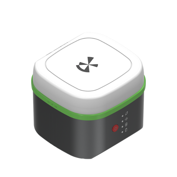
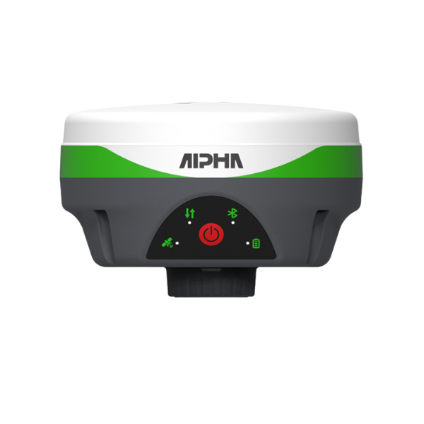
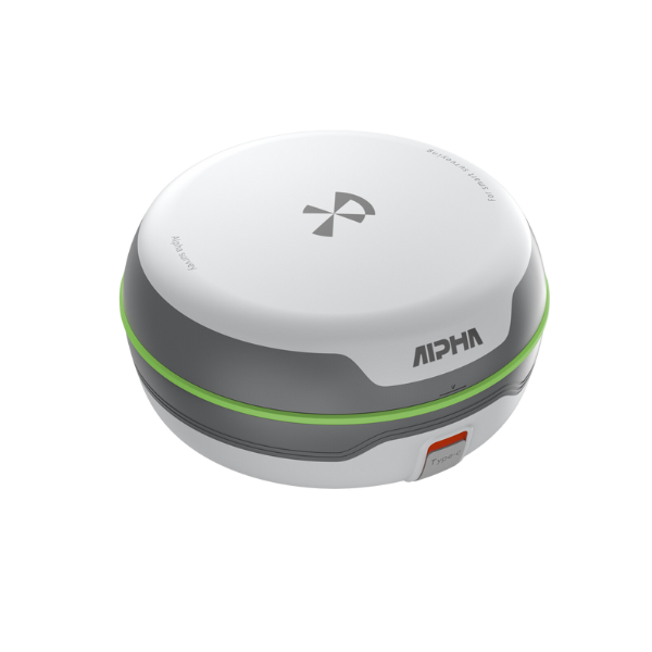
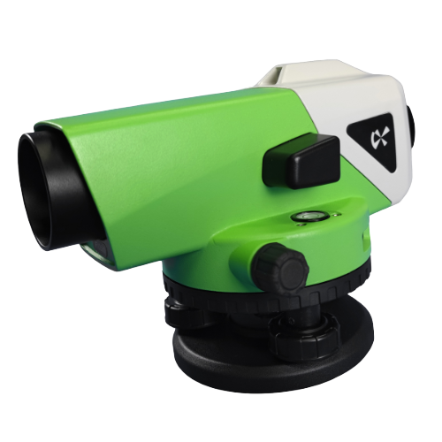
Brands we represent




Recent projects
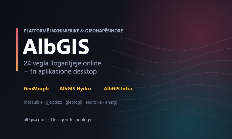
AlbGIS — Engineering Platform & Applications
Our engineering platform: online tools and AlbGIS Suite (Hydro, Infra, Irrig, Struct, GeoMorph, Terren).
Technical Assistance for the Preparation of Projects for Energy-Efficient Schools in Albania
Decagon shpk was contracted by ALBEGIS&CO to carry out topographic surveys for twenty educational buildings. The survey consisted of the…
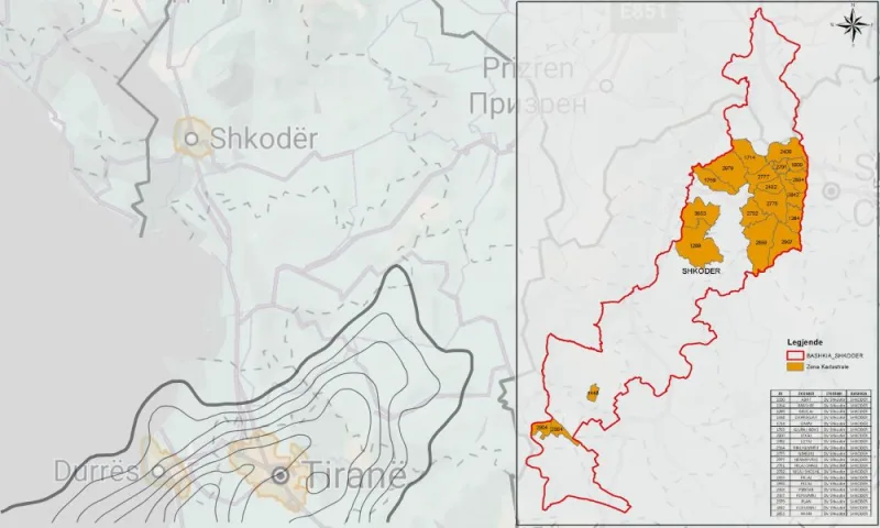
Initial Property Registration for the Municipality of Shkodër
The initial registration of immovable property consists of recording every immovable property, whether state-owned, public or private, in the cadastral…
From the blog
Gravity sewers: from population to pipe diameter
The largest pipe is not always the answer. Why minimum velocity matters as much as capacity, and how both are…
Geometric road design: the alignment, the grade line and the typical cross-section
A safe road does not come from a beautiful line on the plan. How design speed, radii, gradients and the…
Coordinate systems in Albania: KRGJSH, UTM and the Gauss-Krüger legacy
Most errors in deliverables come not from measurement but from the wrong projection. Which system is used when, and how…
Write to us
Describe your project. We reply within one working day.
Our office in Tirana. Call, write or drop by for a coffee.
Saturday – Sunday: closed